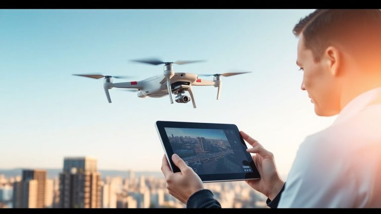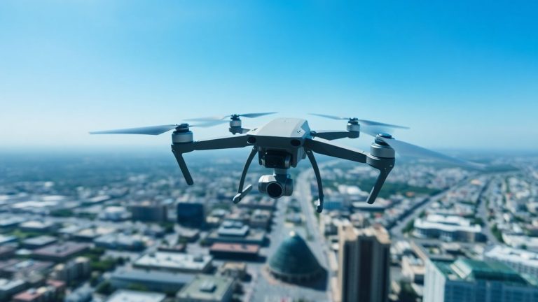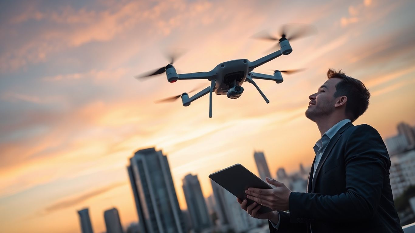
Best drone apps for business owners
Getting the most out of your drone for business means having the right tools. Luckily, there are many drone apps for business owners that can help with everything from planning flights to analyzing data. We’ve looked at a bunch of them and picked out some of the best ones to make your drone operations smoother and more productive.
Key Takeaways
- Aloft provides a central hub for managing drone flights, tracking, and logs, making operations easier.
- Litchi offers advanced features for creating complex flight paths and capturing unique aerial shots.
- UAV Forecast helps pilots check weather conditions to ensure safe and effective flights.
- DJI Go 4 is essential for DJI drone users, offering control over flight modes and camera settings.
- DroneDeploy transforms drone images into maps and 3D models, useful for various industries.
1. Aloft
Aloft is a pretty solid app for anyone serious about flying drones for work. Think of it as your central hub for everything drone-related. It pulls together flight planning, live telemetry data, and even keeps a log of your flights. This means you’re not jumping between a bunch of different programs to get your mission ready or to see how it went.
It’s designed to make managing your drone operations smoother and help you stay on the right side of regulations.
Here’s a quick look at what makes Aloft stand out:
- Flight Planning: You can map out your routes beforehand, which is super helpful for complex jobs or when you need to be precise. It helps avoid surprises mid-flight.
- Real-time Telemetry: See all the important flight data – like altitude, speed, and battery life – right as you’re flying. This is key for safety and making quick decisions.
- Flight Logging: Automatically records your flight data. This is a lifesaver for keeping track of your hours, maintenance, and for any compliance needs.
- Airspace Awareness: Aloft integrates with systems to show you airspace restrictions, helping you avoid trouble before you even take off.
Using an app like Aloft can really cut down on the guesswork. It consolidates information that used to be scattered, making your pre-flight checks and post-flight analysis much more efficient. It’s about having all your critical flight information in one place, accessible when you need it.
They also have features that help with digital authorization for flying in controlled airspace, which can save a lot of time compared to older methods. It’s a tool that aims to cover a lot of the administrative side of drone piloting, so you can focus more on the flying and the data you’re collecting.
2. Litchi
When you’re looking to go beyond basic drone control, Litchi really shines. It’s not just another app; it’s a tool that lets you plan and execute much more complex flights. Think of it as giving your drone a brain for autonomous missions. This app is fantastic for creating smooth, repeatable flight paths that would be incredibly difficult to do manually.
Litchi is especially good for cinematic shots. You can set up waypoints, tell the drone how to move between them (like panning or tilting the camera), and then let it fly itself. This is super useful for real estate photography, inspections, or just getting those epic sweeping shots for a video project. It also has a "Focus" mode that keeps the camera locked onto a subject while the drone moves around it, which is pretty neat.
Here are some of the cool things you can do with Litchi:
- Waypoint Missions: Plan detailed routes with custom camera actions at each point.
- Focus Mode: Keep your subject centered in the frame while you control the drone’s movement.
- VR Mode: Experience your flight from the drone’s perspective with a compatible VR headset.
- Track Mode: Follow a moving object automatically.
It’s a bit of a learning curve, sure, but the results are worth it. You can really make your drone footage stand out. If you’re serious about getting more out of your DJI drone, checking out apps like Maven Pilot can also give you more advanced flight options, but Litchi is a solid choice for autonomous planning.
Litchi takes the guesswork out of complex aerial maneuvers, allowing pilots to focus on the creative aspects of their footage rather than the technicalities of flight control. It’s about precision and repeatability for professional-looking results.
3. UAV Forecast
When you’re out there flying a drone for business, the weather can really mess things up if you’re not careful. That’s where UAV Forecast comes in handy. It gives you the weather details you need to know before you even think about taking off.
This app is pretty straightforward. It checks things like wind speed, temperature, and visibility. You know, the stuff that actually matters for a safe and successful flight. It’s not just about whether it’s raining; it’s about understanding the conditions that could affect your drone’s performance or even put it at risk.
Here’s what you can expect:
- Wind Speed: High winds can make your drone unstable and hard to control. UAV Forecast tells you how strong the wind is likely to be.
- Temperature: Extreme temperatures, both hot and cold, can impact your drone’s battery life and internal components.
- Visibility: Fog, heavy rain, or snow can reduce visibility, making it difficult to see your drone or your surroundings.
- Solar Activity: Believe it or not, strong solar flares can sometimes interfere with GPS signals, which is pretty important for drone navigation.
You really don’t want to be caught off guard by unexpected weather. A little bit of planning goes a long way in keeping your equipment safe and your projects on schedule. This app helps you make those smart decisions.
4. Google Earth
While not strictly a drone-specific app, Google Earth can be a surprisingly useful tool for drone business owners. Think of it as a massive, high-resolution digital globe right at your fingertips. You can use its satellite imagery to scout potential flight locations and identify interesting features or potential obstacles before you even leave your office.
It’s great for getting a general lay of the land, especially if you’re exploring new areas for a project. You can zoom in on specific sites, get a feel for the terrain, and even spot things like roads, buildings, or bodies of water that might impact your flight planning.
Here’s how it can help:
- Site Scouting: Before a job, scroll through Google Earth to get a visual understanding of the area. This can save you time on-site by helping you anticipate access points or potential challenges.
- Visual Planning: Use the imagery to plan out general flight paths or identify areas of interest for photography or inspection.
- Client Communication: Show clients a satellite view of the area you’ll be surveying, giving them a clear picture of the scope of work.
- Discovering Underexplored Spots: Sometimes, just browsing the map can reveal unique locations that could lead to stunning aerial shots or uncover hidden details relevant to a business need.
While Google Earth provides a fantastic overview, remember it’s not real-time. Always conduct on-site checks for the most accurate, up-to-the-minute conditions before flying.
5. DJI Go 4
If you’re flying a DJI drone, the DJI Go 4 app is pretty much a must-have. It’s the official app from DJI, and it’s what you’ll use to actually control and monitor your drone while it’s in the air.
It’s your main interface for everything from basic flight controls to more advanced camera settings. You can check your drone’s battery life, GPS signal, and see what the camera is seeing in real-time. It also handles firmware updates, which are important for keeping your drone running smoothly and safely.
Here’s a quick rundown of what you can do with it:
- Flight Control: Manually fly your drone or use intelligent flight modes for more automated tasks.
- Camera Settings: Adjust ISO, shutter speed, aperture, and white balance to get the perfect shot.
- Live View: See a real-time video feed from your drone’s camera.
- Telemetry Data: Monitor flight speed, altitude, distance, and battery status.
- Firmware Updates: Keep your drone and controller up-to-date with the latest software.
The DJI Go 4 app is really the central hub for operating your DJI drone. It’s designed to be pretty straightforward, even if you’re new to flying. You’ll get used to seeing all the flight information right there on your screen, which is helpful when you’re out in the field.
6. DroneDeploy
DroneDeploy is a big player in the commercial drone software world, and for good reason. It’s a cloud-based platform that helps you map and analyze your job sites. Think of it as a way to get a really detailed, digital twin of whatever you’re working on, whether that’s a construction site, a farm, or something else entirely.
What makes DroneDeploy stand out is how user-friendly it is, even with all the powerful features it packs. You can plan your drone flights right in the app, and it processes the images in the cloud, which is a lifesaver if your computer isn’t a super-computer. It also supports a wide range of drones, not just the super expensive, specialized mapping ones. This means if you’ve got a popular DJI drone, chances are DroneDeploy can work with it.
Here’s a quick look at what you can do:
- Automated Flight Planning: Set up your flight paths easily.
- Cloud Processing: Upload your data and let DroneDeploy handle the heavy lifting of creating maps and models.
- 2D Maps & 3D Models: Visualize your site from above with detailed orthomosaics and 3D reconstructions.
- Collaboration Tools: Share your maps and models with your team or clients, add comments, and take measurements.
- Site Comparison: Track progress over time by comparing current scans with previous ones or even design plans.
DroneDeploy is particularly good for keeping everyone on the same page. You can easily share progress reports, identify areas that need more attention, and generally make sure your whole team is looking at the same, accurate picture of the site. This kind of clear communication can save a lot of headaches down the line.
While it’s a paid service, and the pricing can get a bit steep, especially for advanced features or team plans, the support and the sheer capability of the platform make it a strong contender for businesses that rely heavily on accurate site data. They offer different plans, so you can try to find one that fits your needs, though sometimes you have to call them directly to get the full pricing details for larger teams.
7. Pix4D
Pix4D is a pretty serious player in the drone mapping world, especially if you’re looking to create super accurate 2D maps and 3D models from your drone photos. It’s a photogrammetry software, which basically means it takes a bunch of pictures and stitches them together to make detailed, full-color images of land or structures. They’ve been around since 2011, so they’ve had plenty of time to figure things out.
What’s cool about Pix4D is how you can buy just the parts of the software you actually need. Unlike some other services that make you buy big subscription packages, Pix4D lets you pick and choose. You might need the flight planning tool, the part that processes all the images, or maybe just a map editor. This can be a big money saver if you don’t need every single feature out there.
- Orthomosaics: Pix4D is known for making some really top-notch orthomosaics, which are basically super-accurate aerial photos. They’re hard to beat in this area.
- LiDAR Processing: This is a big one. Not many other mapping programs can process LiDAR data. If you’re working with LiDAR scans, Pix4D lets you process, view, and even export that data into other programs like AutoCAD.
- Customization: You can tailor the software to your specific needs, which is great for avoiding unnecessary costs.
Since it’s a paid service, you get pretty good customer support. There’s a help center, forums, and you can usually get someone on the phone if you’re really stuck. Your maps are stored in the cloud, but you can also download them to your own computer, which is nice for keeping backups.
Pix4D is a strong choice for professionals who need precise mapping data and are willing to invest in specialized tools. Its ability to handle complex data like LiDAR sets it apart from many competitors.
8. Propeller Aero
Propeller Aero is a platform that really focuses on the construction and earthworks industries. If you’re in those fields, this app can give you some pretty detailed site analytics from your drone surveys. It’s designed to help teams map, measure, and manage their worksites more efficiently. They have a bunch of tools for looking at things like elevation differences, road grades, and surface areas. It’s all about getting a clearer picture of what’s happening on the ground.
Propeller Aero works by processing your drone imagery to create things like orthomosaics, 3D models, and digital terrain models. They have a pretty slick online interface that’s generally easy to get around. If you’re looking to get more precise measurements and track progress on a construction site, this could be a good fit.
Here are some of the measurement tools you can expect:
- Elevation Difference
- Road Grade
- Surface Area
- Volume from Lowest Point
- Earthworks Progress
While Propeller Aero offers advanced analytics, it’s important to note that it often requires specific hardware, like their Aeropoint ground control points, which can add to the overall cost. Also, it doesn’t include its own flight planning software, so you’ll need to use a separate app for that part of the process.
For companies that need detailed site analysis for construction projects, Propeller Aero provides a solid set of features. You can check out their site analytics to see if it matches your project needs.
9. SkyWatch.ai
When you’re running a drone business, the last thing you want is to worry about unexpected issues with your equipment or operations. That’s where SkyWatch.ai comes in. It’s essentially your go-to for getting drone insurance sorted out quickly and easily.
Think about it: you’re out on a job, maybe inspecting a roof or surveying land, and something unforeseen happens. Having the right insurance coverage can make all the difference between a minor hiccup and a major financial headache. SkyWatch.ai understands that drone operations aren’t one-size-fits-all, so they offer flexible insurance plans.
Here’s a quick look at what they provide:
- On-Demand Coverage: Need insurance for a specific job or a short period? They’ve got you covered.
- Monthly Plans: For regular operators, a monthly plan offers consistent protection without long-term commitments.
- Annual Plans: If your business operates year-round, an annual policy provides the most comprehensive and cost-effective solution.
Getting a policy is pretty straightforward. You can customize features and costs to fit your specific needs, which is a big plus. It’s all about flying with confidence, knowing you’re protected. You can get customized aircraft insurance right through their platform.
Dealing with insurance can feel like a chore, but SkyWatch.ai aims to simplify it so you can focus more on flying and less on paperwork. They make it possible to get the coverage you need without a lot of hassle.
10. AirMap
AirMap is a pretty handy app for any drone pilot, especially if you’re flying for business. You know how sometimes you’re not sure if you can fly in a certain area? AirMap helps clear that up. It checks the airspace rules for your planned flight path and tells you if there are any issues. This is a big deal because dealing with airspace regulations can be a headache, and this app makes it way simpler.
One of the cool things it does is let you request digital authorization to fly in controlled airspace. Instead of filling out a bunch of paperwork that takes ages, you can often get approval right through the app, sometimes in just a few seconds. It’s like a fast pass for flying where you need to go.
If you’re flying in areas that might be sensitive, AirMap also has a feature to let authorities know you’ll be there. It can even give you the contact info for local air traffic control if you need to talk to them directly. It’s all about making sure you fly safely and responsibly.
Here’s a quick rundown of what it helps with:
- Airspace Compliance Checks: See if your flight plan follows all the rules.
- Digital Authorization: Get quick approvals for flying in controlled airspace.
- Local Notifications: Inform authorities about your flights in sensitive areas.
- Contact Information: Easily find contact details for air traffic control.
The app dynamically analyzes the airspace around your intended flight path. If it spots any potential rule violations, it lets you know so you can adjust your plan before you even take off. This proactive approach can save you a lot of trouble.
Wrapping Up Your Drone App Toolkit
So, there you have it. We’ve looked at a bunch of apps that can really help you out when it comes to flying drones for your business. Whether you need to plan flights, check the weather, keep track of where you’re flying, or even make your footage look good, there’s an app for that. Using the right tools can make a big difference in how smoothly things go and the quality of your work. Don’t be afraid to try a few out to see what fits best with how you operate. Happy flying!
Frequently Asked Questions
What is the main purpose of these drone apps for business owners?
These apps help business owners use drones more effectively. They can help with planning flights, making sure it’s safe to fly, taking better pictures or videos, and even turning that information into useful maps or 3D models for projects.
Do I need a special drone to use these apps?
Not always! Some apps, like DJI Go 4, are made specifically for DJI drones. But others, like DroneDeploy, work with many different drone brands, so you can often use them with the drone you already have.
How do these apps help with safety and rules?
Many apps check weather conditions and airspace rules before you fly, like AirMap and UAV Forecast. This helps you avoid no-fly zones or bad weather, keeping you and your drone safe and following the law.
Can these apps help me make money with my drone business?
Yes! Apps like DroneDeploy and Pix4D can create detailed maps and 3D models from your drone footage. This kind of data is valuable for industries like construction or farming, helping you offer more services to clients.
What if I need insurance for my drone business?
Apps like SkyWatch.ai and DroneInsurance.com are designed to help you get the right insurance for your drone operations. This is important for protecting your business and meeting client requirements.
Are these apps difficult to learn and use?
The apps vary in complexity. Some, like DJI Go 4, are quite straightforward for basic control. Others, like Pix4D or DroneDeploy, have more advanced features for mapping and analysis, but they are designed to be user-friendly for professionals.